


[Home Mountain] Mt. Takiko. A mountain stream, Mt. Fuji, and a reward found in the tranquility.
2026.06.24

Day Hiking Trails in Yamanashi: Enjoy Mount Fuji and Stream Hiking
Mount Takiko, located in Ōtsuki City, Yamanashi Prefecture, stands at an elevation of 1,620 meters and is a renowned peak selected as one of the “Twelve Scenic Views of Mount Fuji.”
In addition to its views of Mount Fuji, this mountain offers a refreshing hiking route along a mountain stream and a peaceful ridge walk.
It is accessible on foot from the station and is a great spot to enjoy the high altitude.
It’s easy to enjoy and incredibly satisfying
At 1,620 meters, Mt. Takiko might sound high, but since the trailhead is at a relatively high elevation, the cumulative elevation gain is only about 1,000 meters.
Even if you take your time, you can complete the loop in about 6 to 7 hours, making it just the right length for a spring day hike.
While the climb is challenging, there are few dangerous rocky sections, and the views are excellent, offering a real sense of accomplishment. In particular, the view of Mount Fuji from the summit and the deep, rugged mountain ranges of the Southern Alps seen from the ridgeline provide a quiet sense of wonder.
“I want the moderate fatigue of a hike and to be soothed by nature.”
This mountain is perfect for days when you’re in that kind of mood.
Mount Fuji as Seen from the Ridge Line
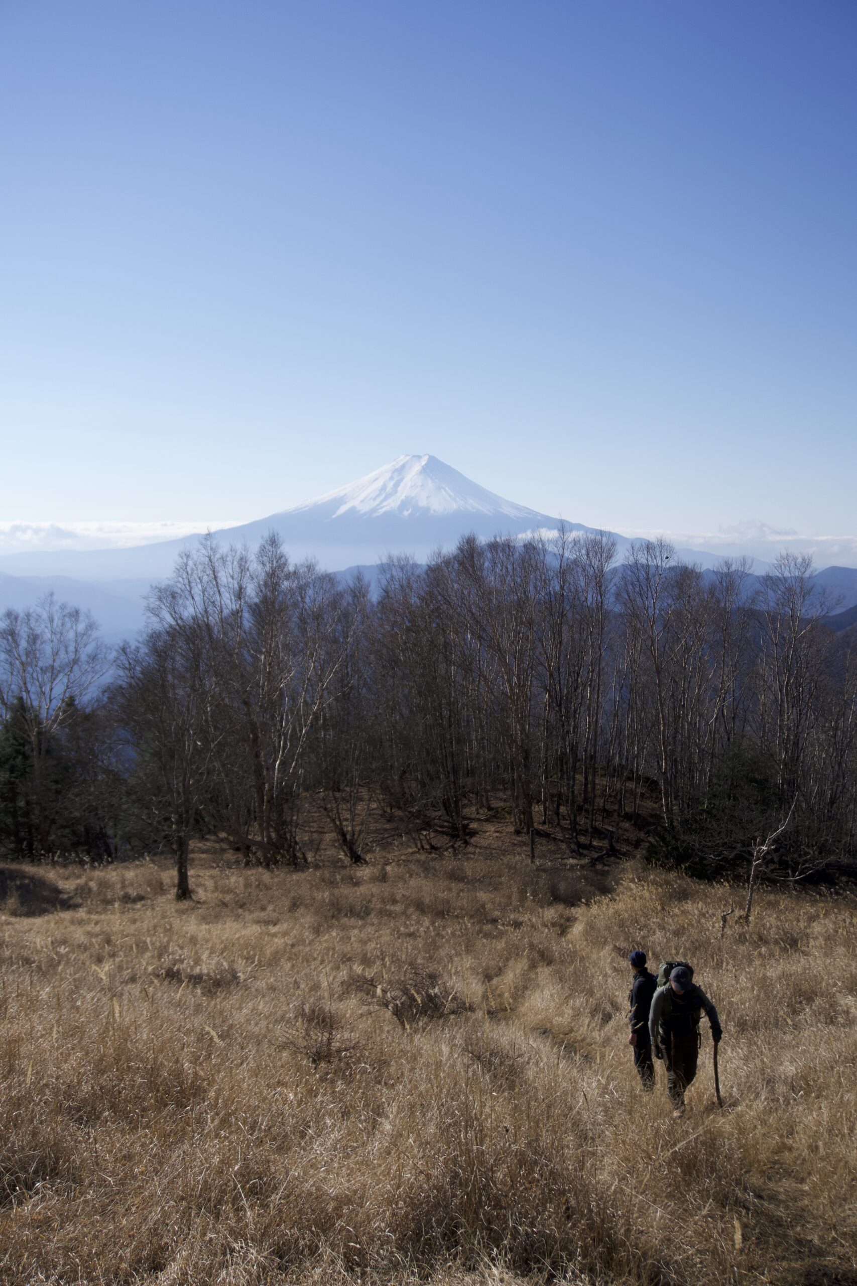
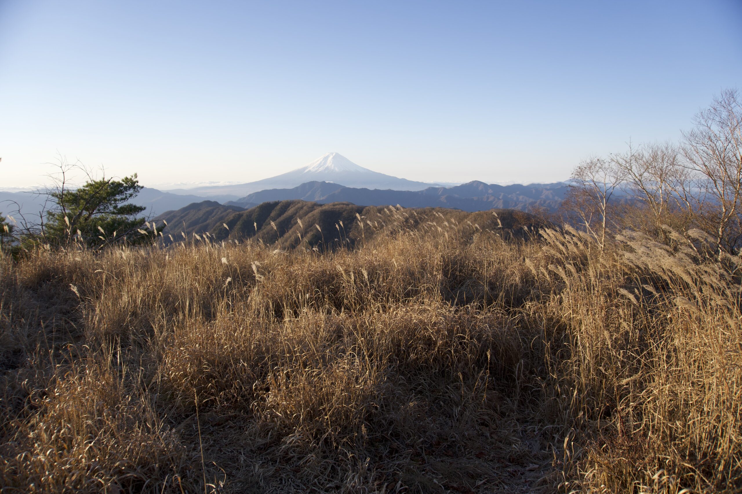
From the summit and ridgelines, Mount Fuji looms large right in front of you. Unlike the “low mountains × cherry blossoms” experience at Mt. Iwadono, the appeal here lies in the sweeping views created by the significant elevation difference.
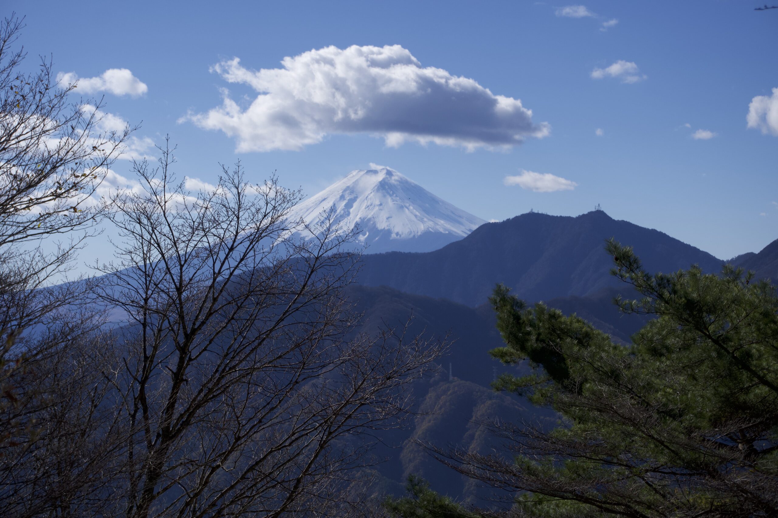
In spring, the air is mild, and Mount Fuji often appears softly veiled in haze. But that hazy appearance is beautiful in its own right—it’s the kind of view that makes you want to take a leisurely moment to admire it from the quiet ridgeline.
As you climb higher, you can see different views of Mount Fuji from various spots, and you’ll find yourself stopping to take it all in.
Basic Information on Mt. Takiko
Location: Sasago-cho, Otsuki City, Yamanashi Prefecture
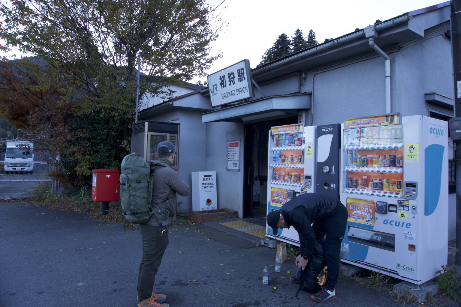
Nearest Stations: “Sasago Station” or “Hatsukari Station” on the JR Chuo Main Line
Total Course Length: Approx. 10–12 km (varies by route)
Hiking Time: Approx. 6–7 hours (loop course)
Main Trailheads:
Doshō Jizō Trailhead (approx. 30-minute walk from Sasago Station)
The Hinodaira Route / route toward Hatsukari Station is also possible (looping route available)
Public Transportation:
Use “Sasago Station” or “Hatsukari Station” on the JR Chuo Main Line
*The loop route that ascends from Doshō Jizō and descends toward Hinodaira is popular.